On Saturday May 7th at 12pm I’ll be giving a talk at the Capitol Park Museum in Baton Rouge about this trip and sharing more photos.
Blog: Interstate Legacy Across America
From Jan - April 2022 my husband and I are traveling across America to photograph cities included in The Yellow Book. I am making a photographic survey of how the interstate altered these cities, 66 years later. Please see the tab for The Yellow Book to learn more about this project.
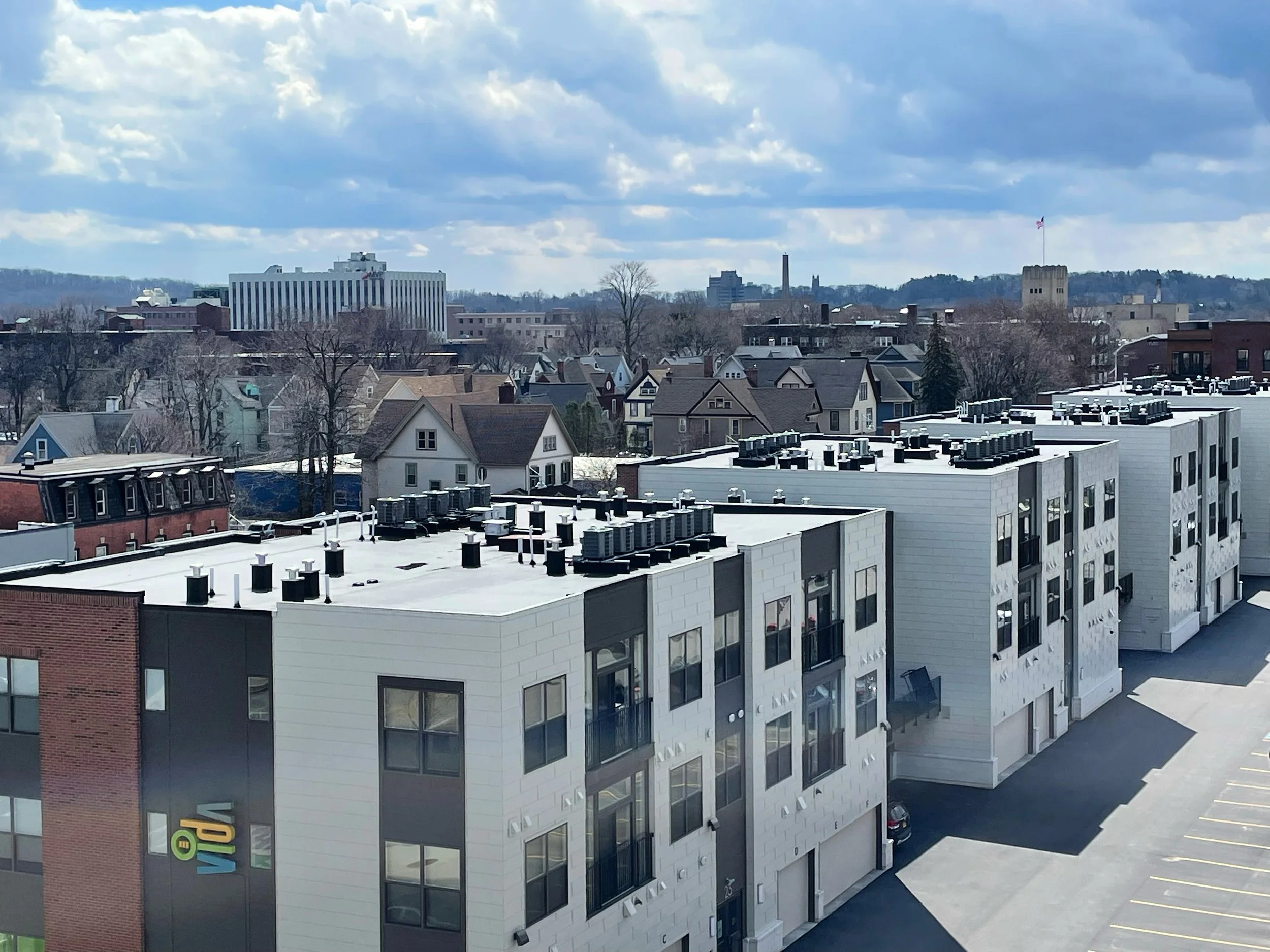
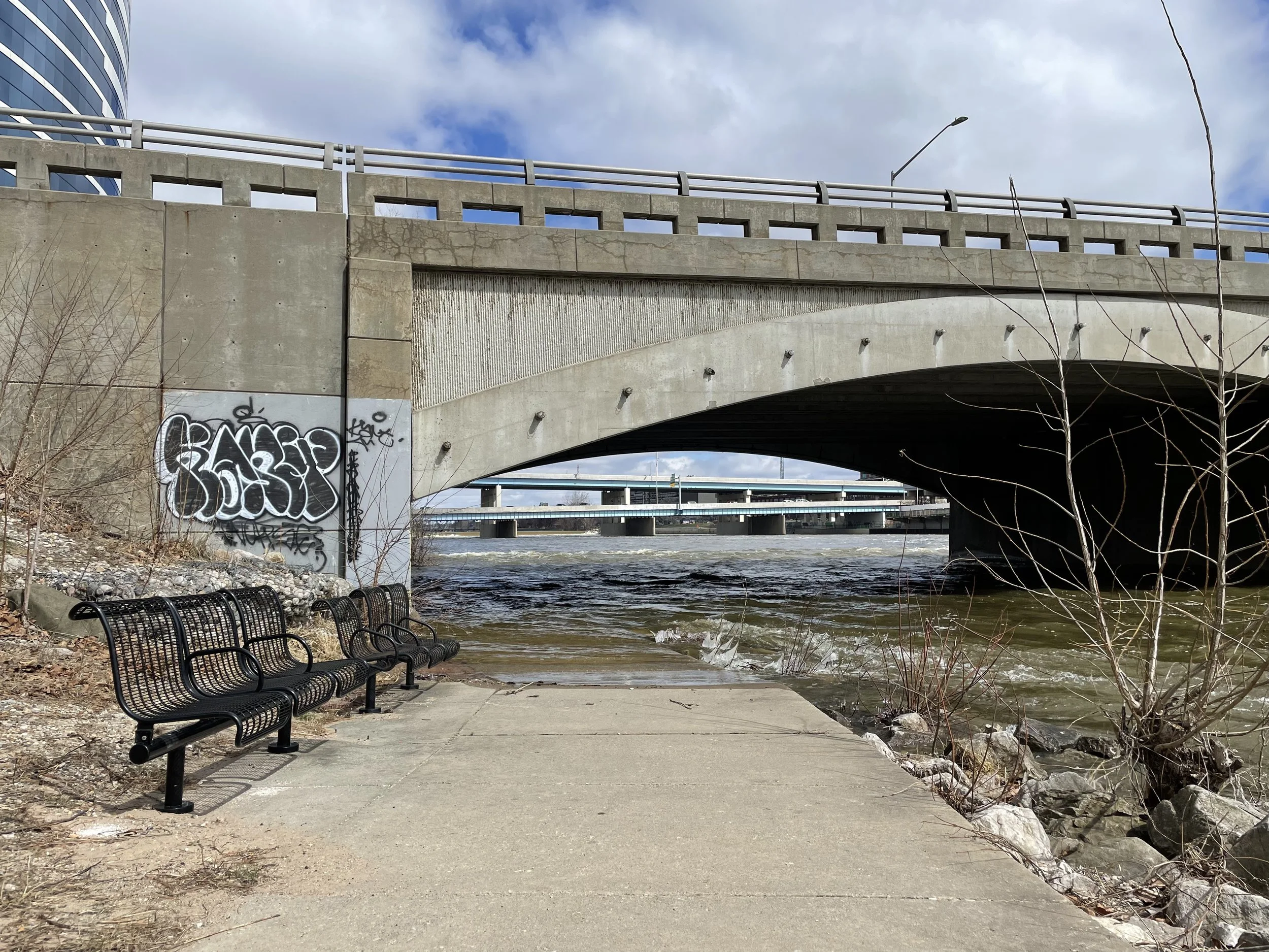
Rochester, NY
Our last stop on this epic sabbatical road trip - Rochester, NY. It feels fitting to end in one of the first places to remove part of the inner loop of highway in the city. The highway section was filled in with dirt from Lake Ontario and on top have built bike lanes, housing, businesses and a museum. An example of investing back into the city, and the project has revealed the removal has not made traffic any worse. I’m hopeful for the future as more cities across the county consider removing their highways. There’s so many more cities in the Yellow Book for me to photograph including throughout the Midwest, and East. For now though, I will be spending the summer working through all photographs made over the past 3 months.
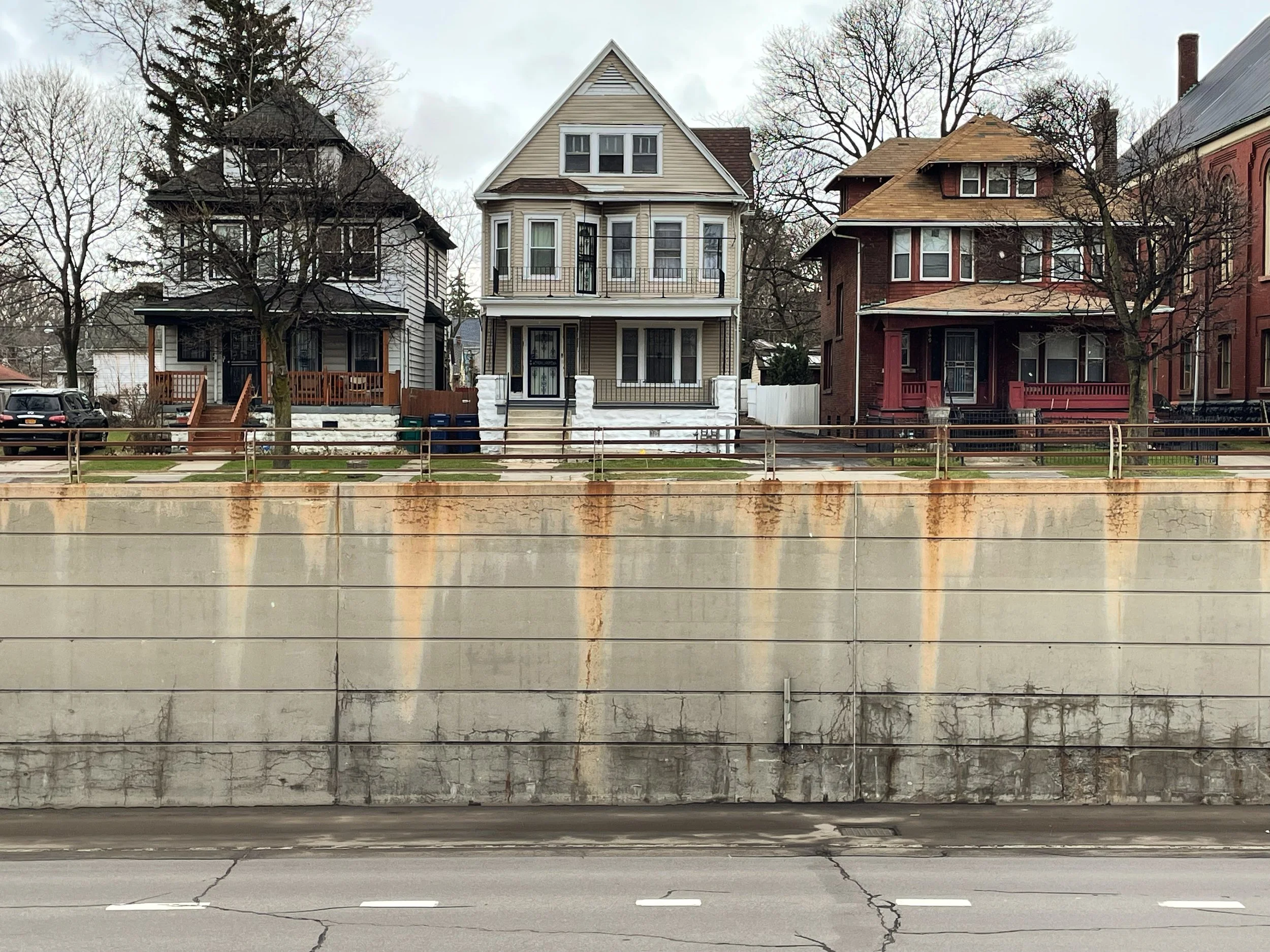
Buffalo, nY
Highways on doorsteps through black neighborhoods.
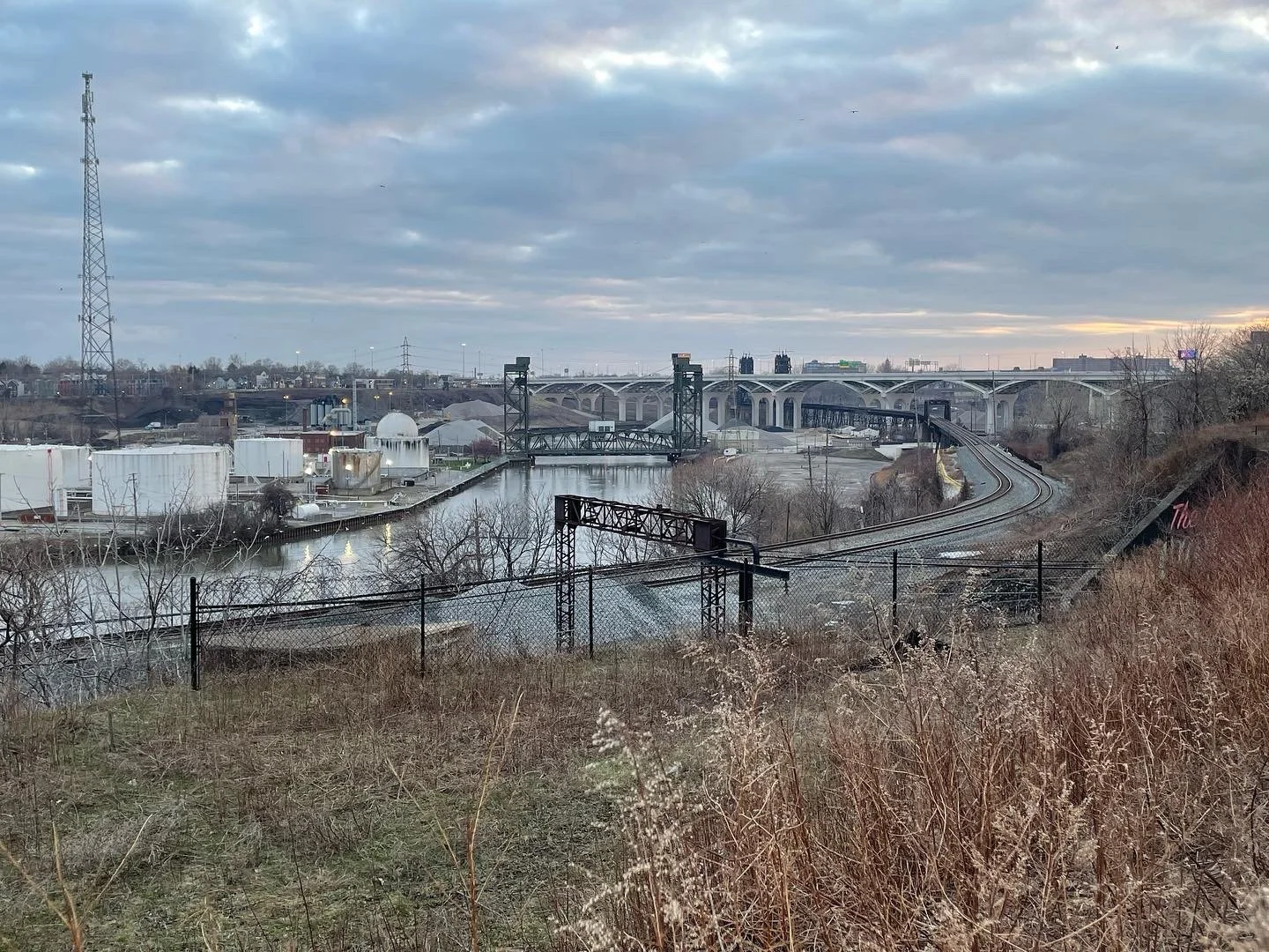
Ohio
Toledo and Cleveland.
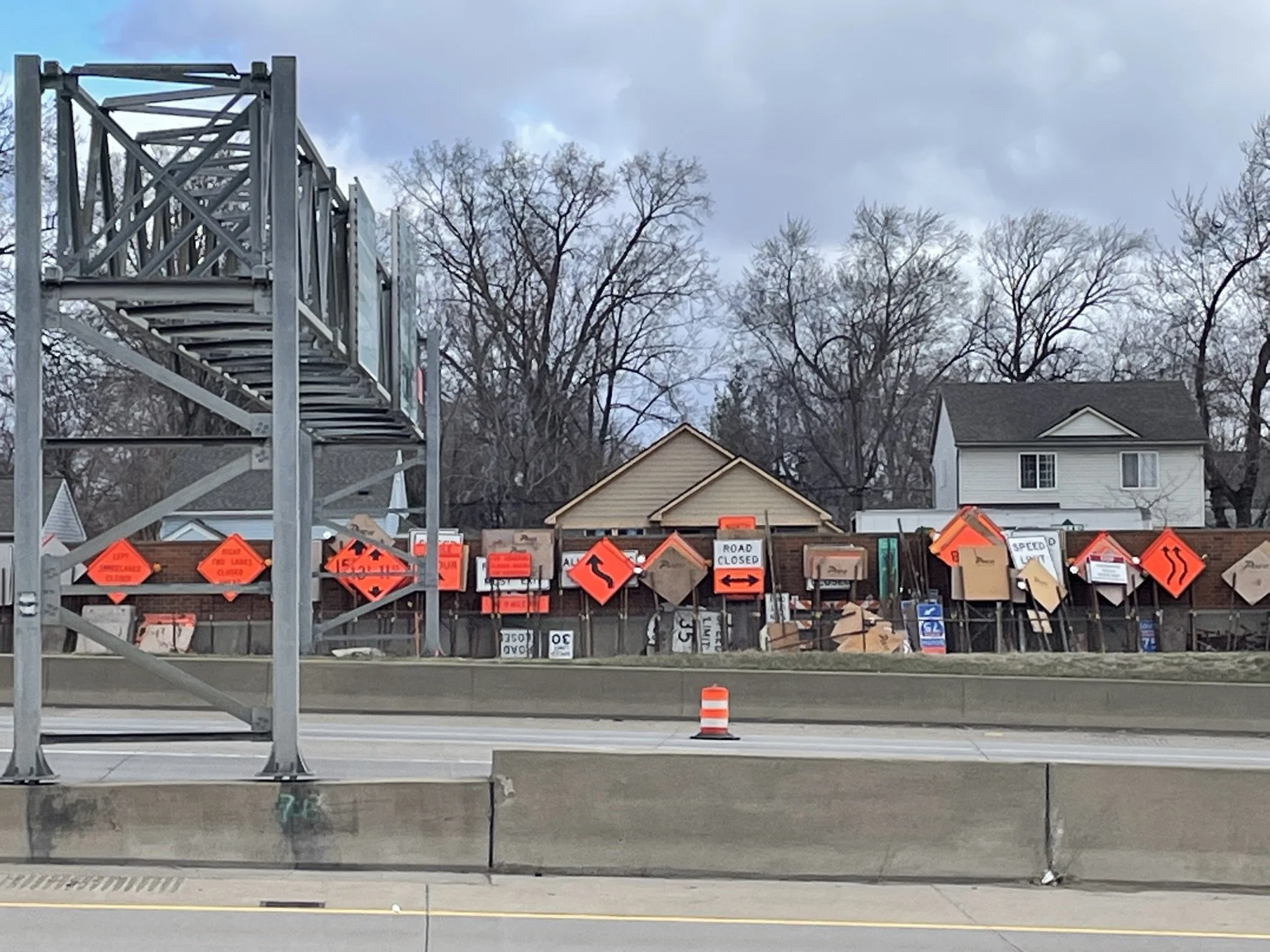
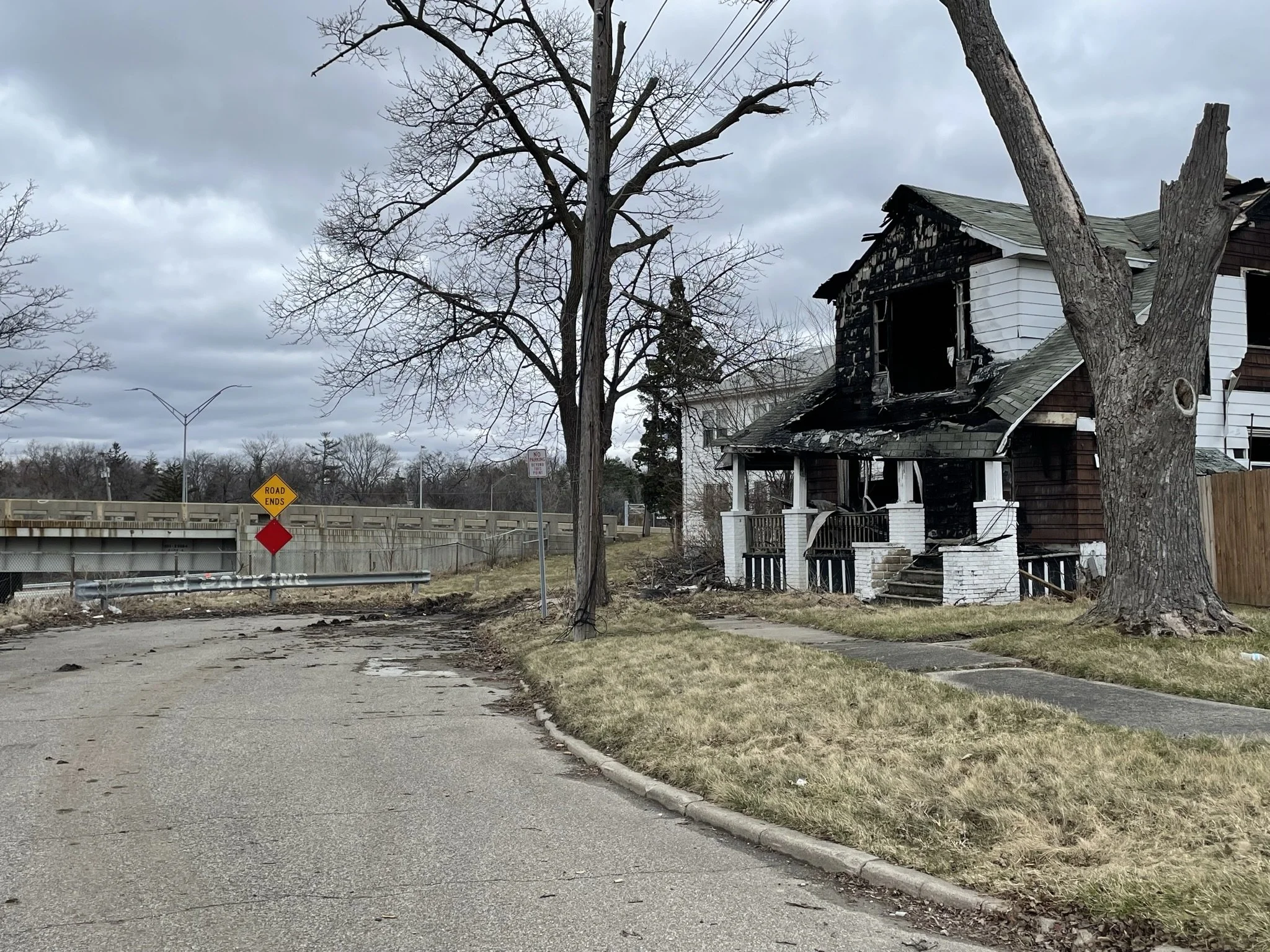
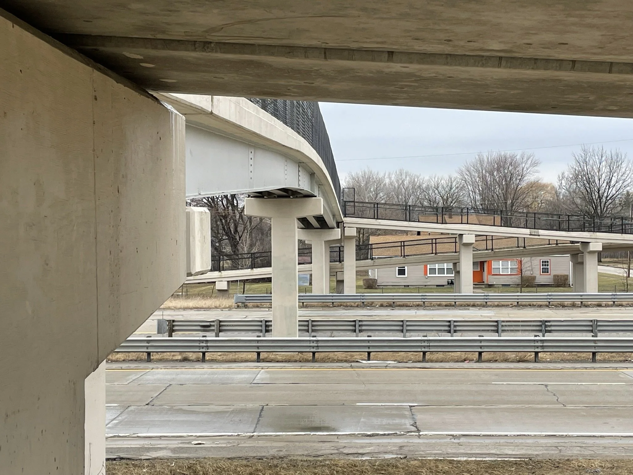
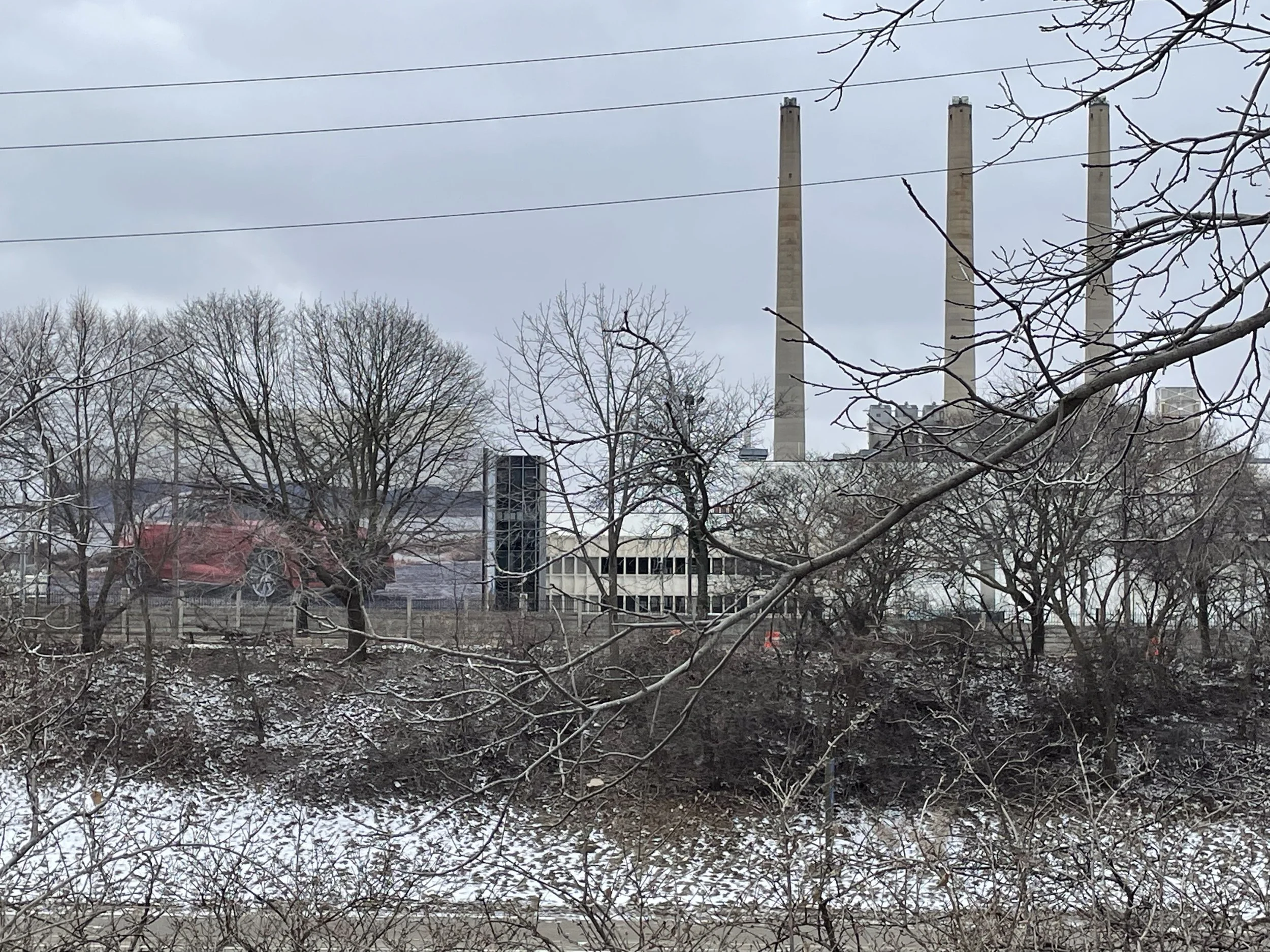
Michigan
Detroit, Flint, Saginaw and Grand Rapids. The evidence of highways through black communities and the poverty due to the disappearance of car factories is everywhere.
Lansing, michigan
It is impossible to separate the highway from the car industry in this entire state. In Lansing, the highway was placed through a thriving black neighborhood, by the influence of Oldsmobile and convenience next to their plant downtown.
Battle creek, michigan
Where the highway is known informally as “the penetrator” and formally as the “Sojourner Truth Highway” as this was her home at the end of her life.
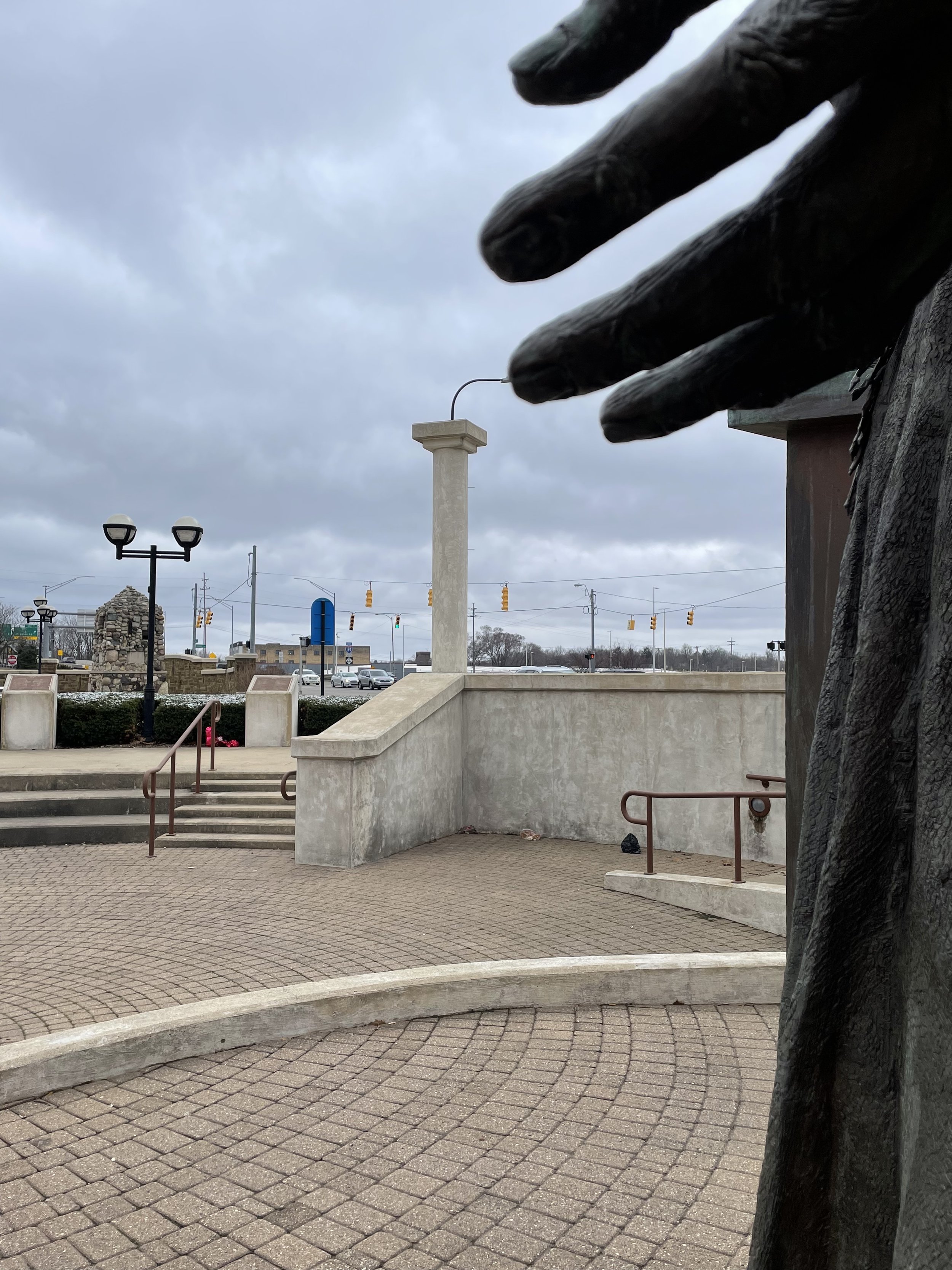
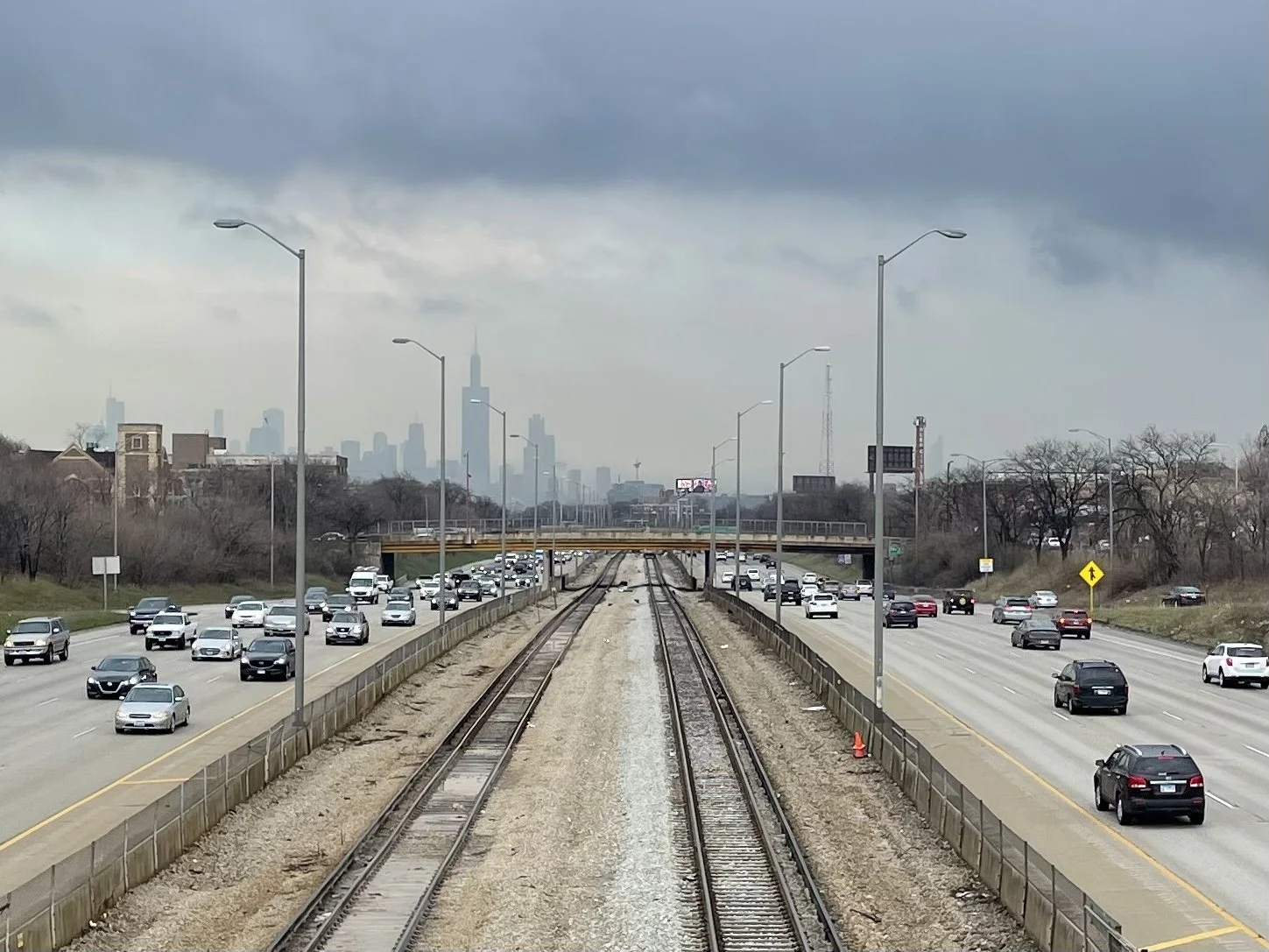
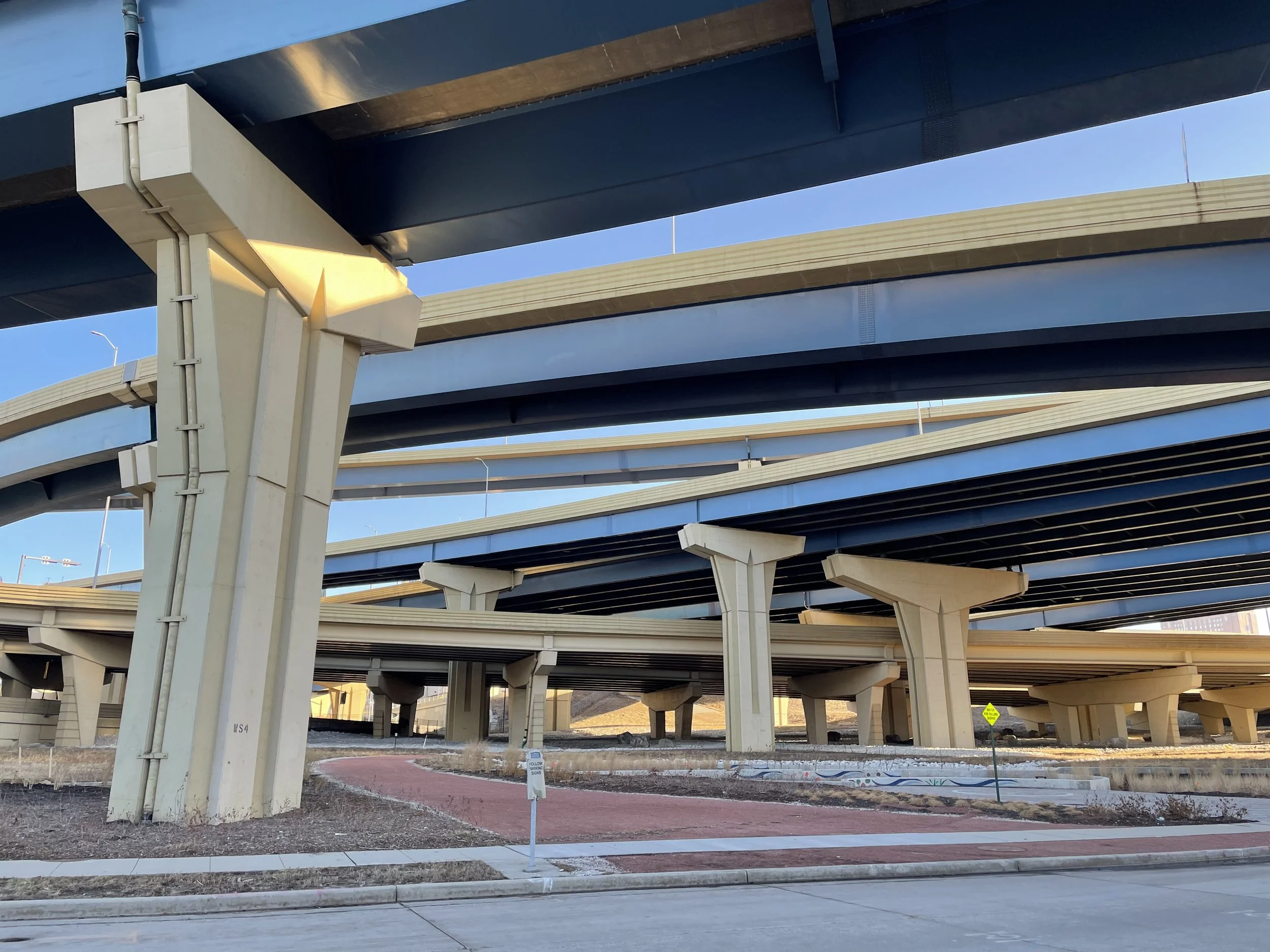
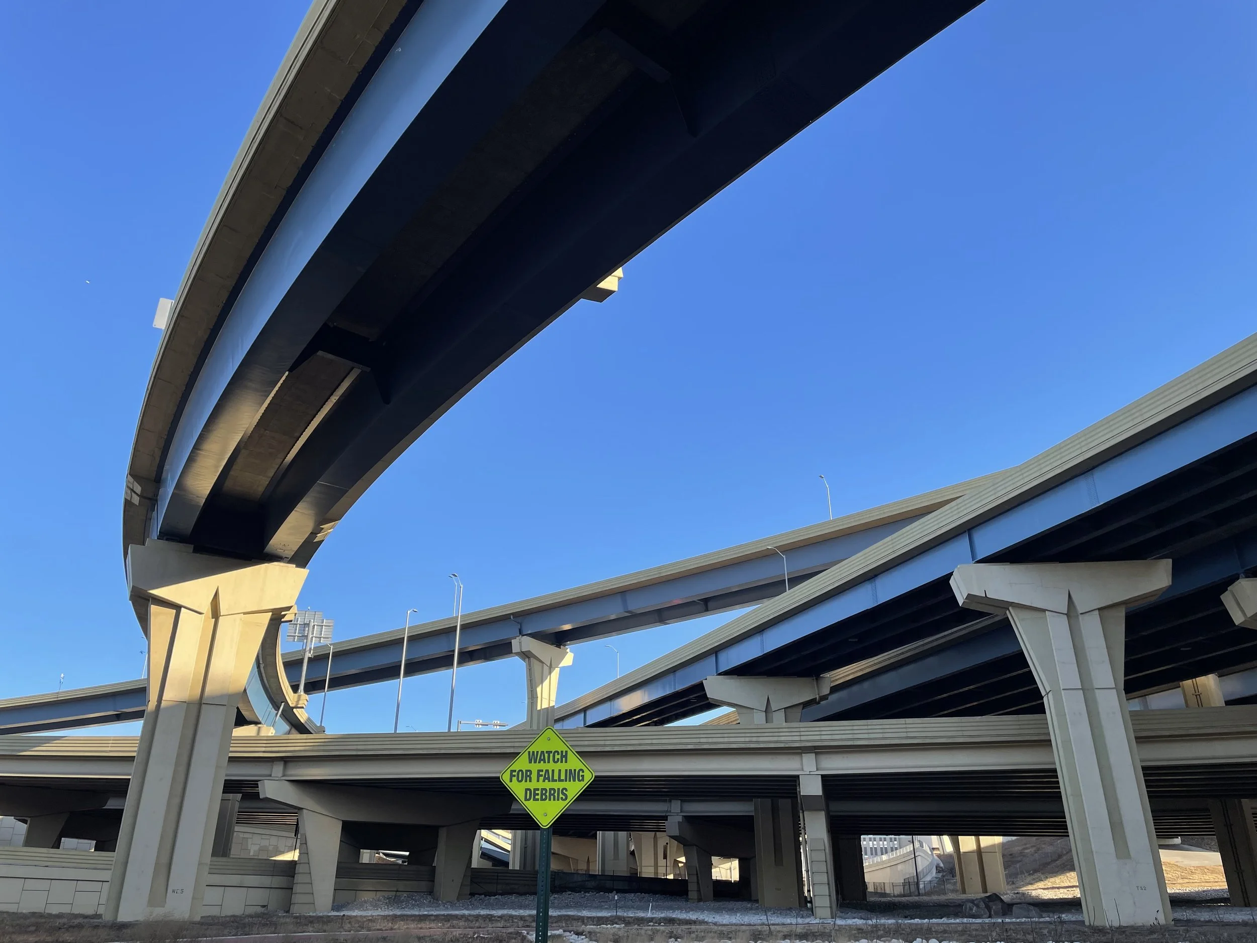
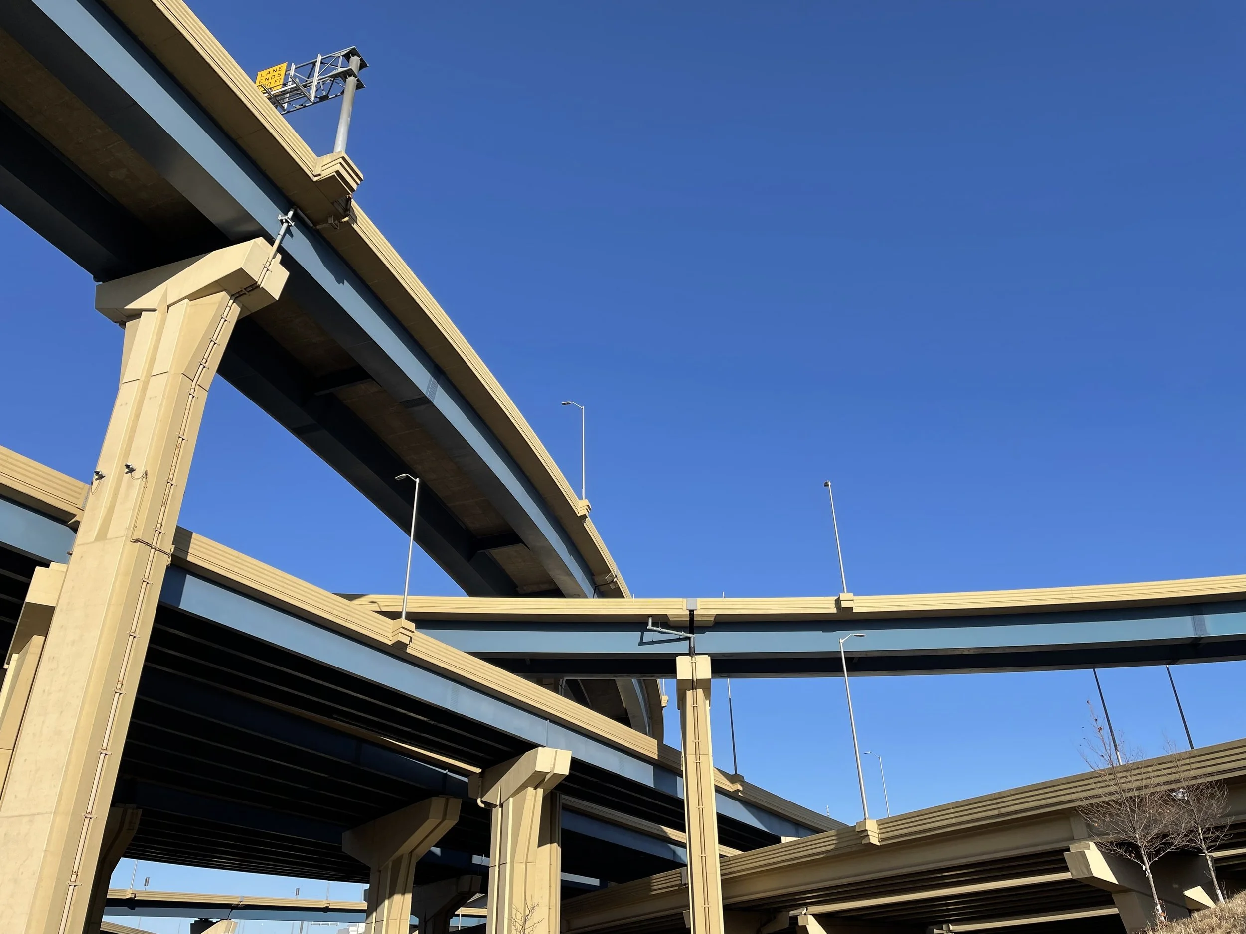
Chicago, Illinois
A rainy welcome to the city.
Milwaukee, Wisconsin
Mazes of highways in downtown Milwaukee.
st.Paul, Minnesota
Encouraging to see a memorial park to the Rondo neighborhood and learn of their healing ceremony and plans to move forward.


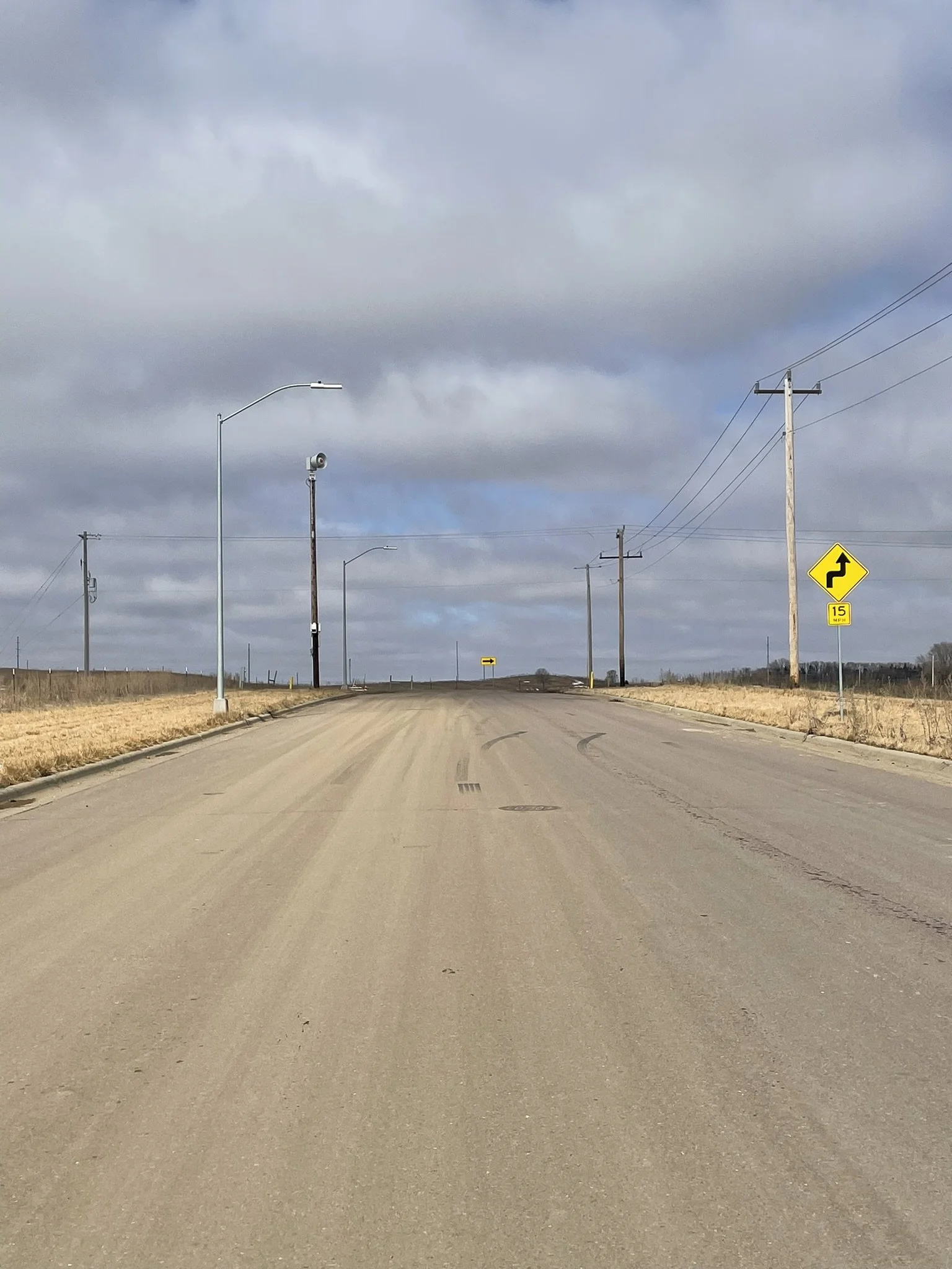
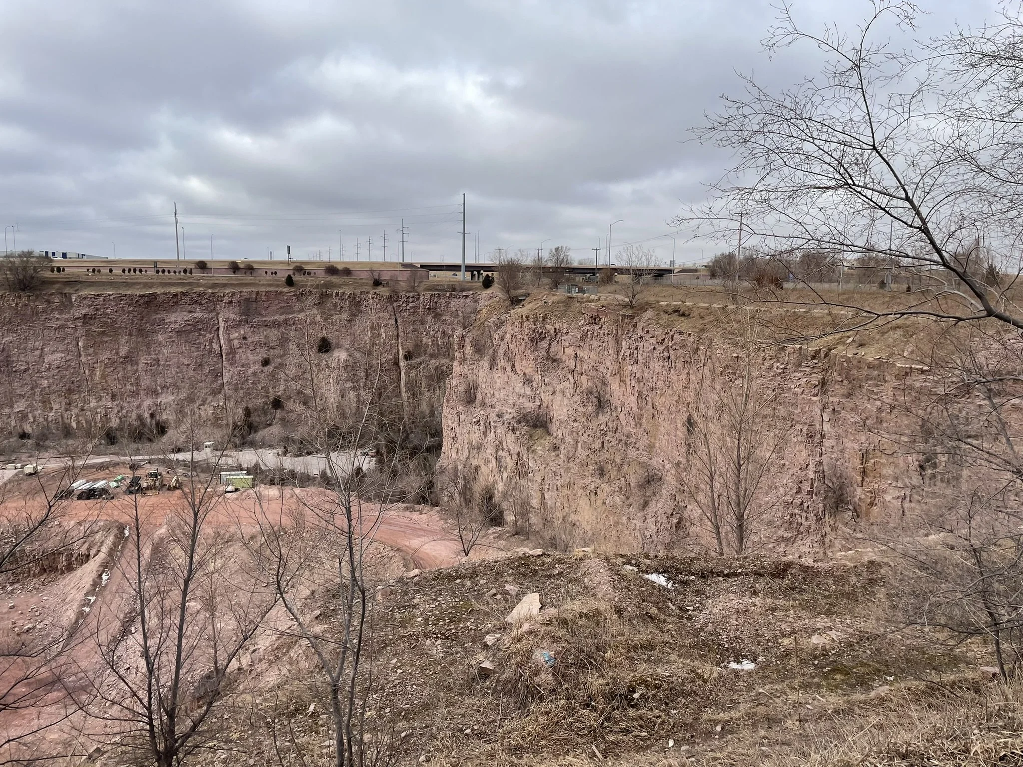
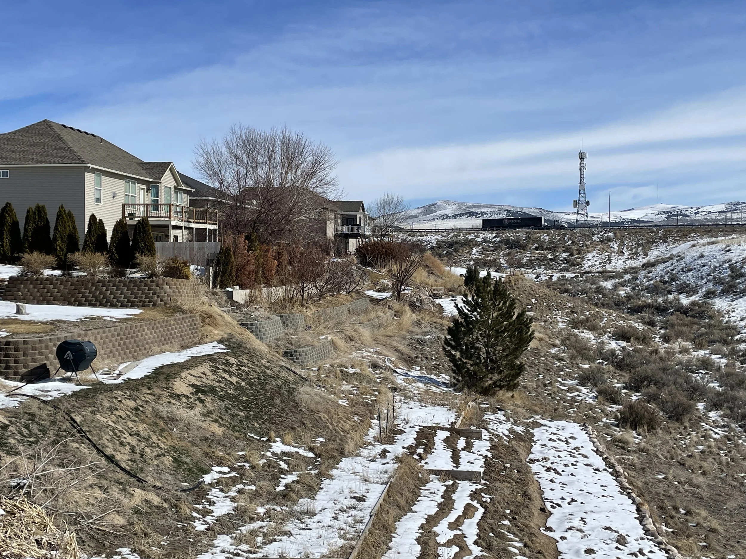
Sioux falls, south dakota
Roads to new subdivisions and a highway on the edge of a quarry.
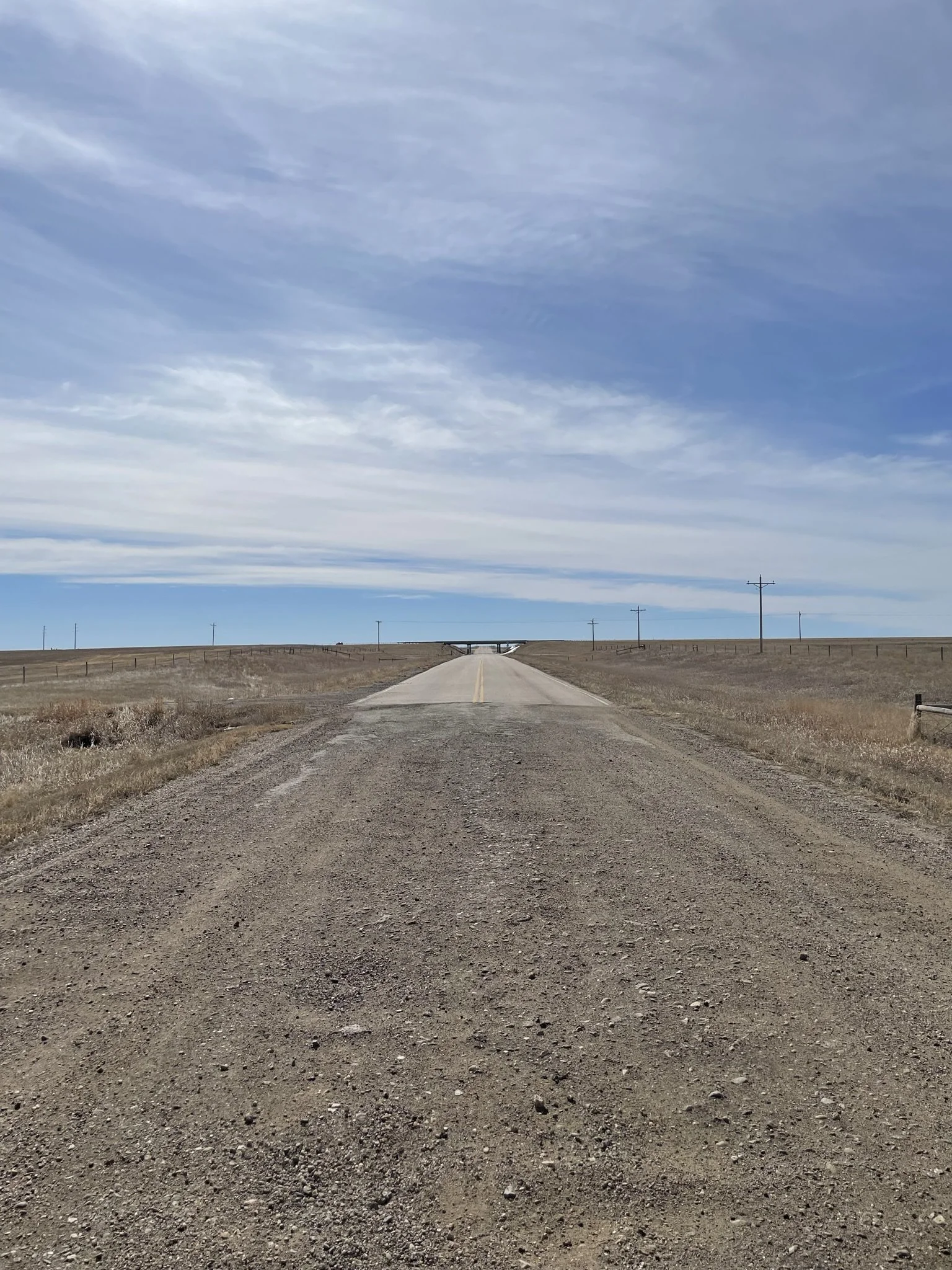
Wall, south dakota
Where the road ends.
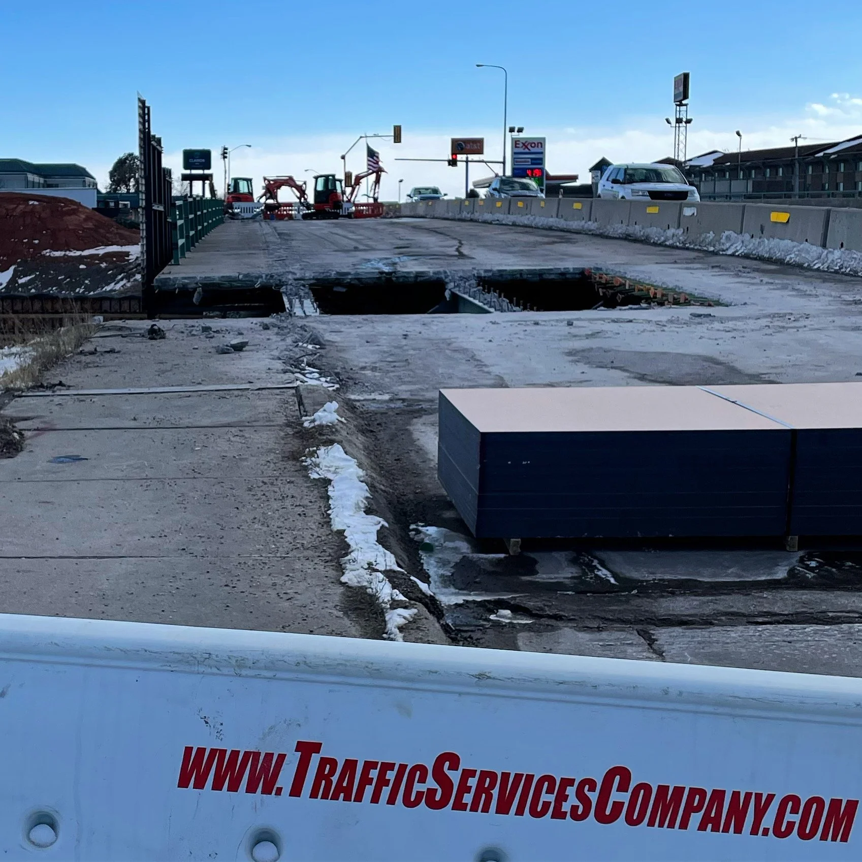
Rapid city, South dakota
Holes in highways with more expansions.
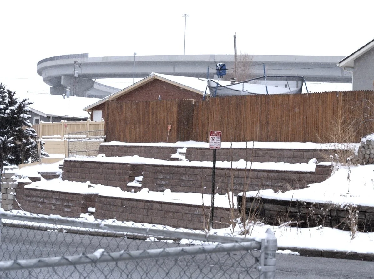
Denver, Colorado
In Denver, the highway interchange is nicknamed “the mousetrap”. Built through the minority community of Globeville, it is now undergoing a massive expansion.
Pocatello, idaho
Homes beside highways.
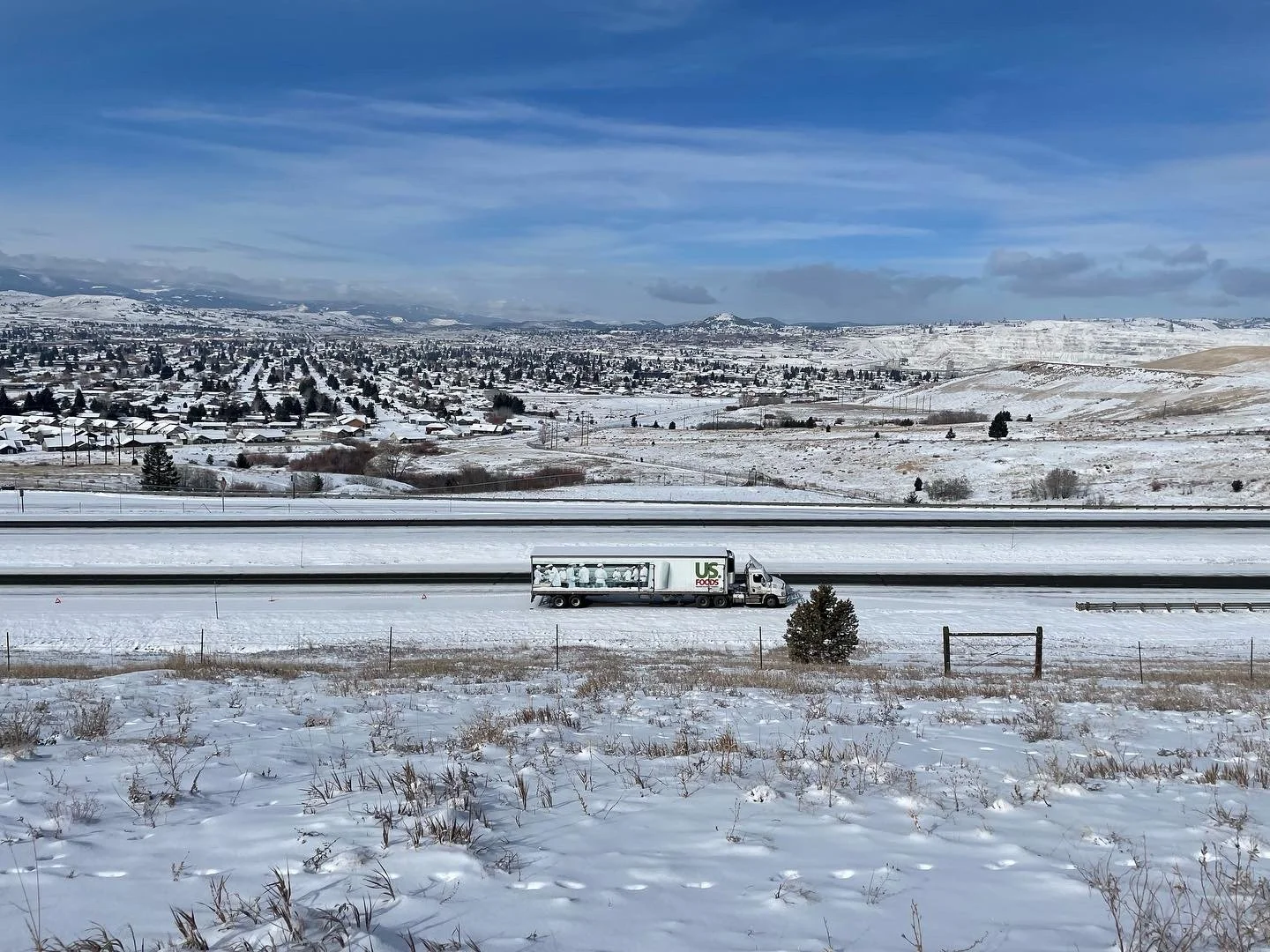
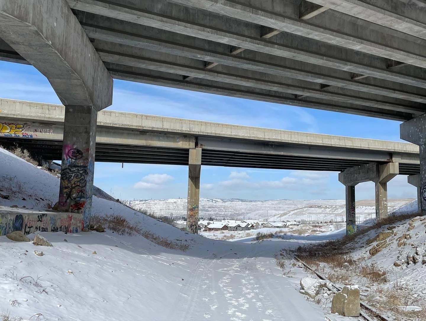
Butte, Montana
In Montana I am learning that the highway placement had much to do with geography and mountain passes. Butte, Montana.
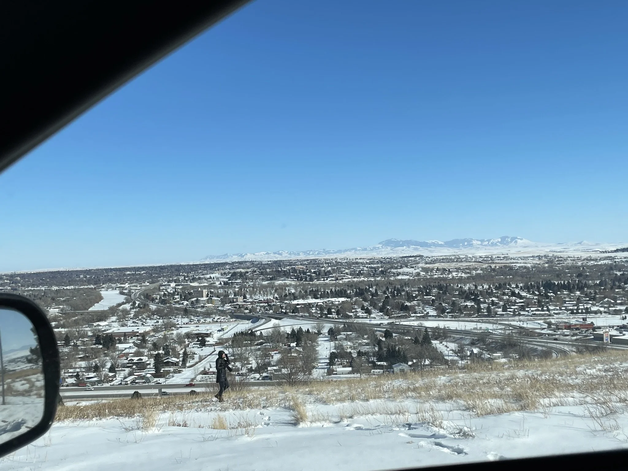
Great falls, montana
I keep forgetting to make phone photos when I’m working. Lol Joey however made a photo of me photographing the highway at -18F in Great Falls, MT.
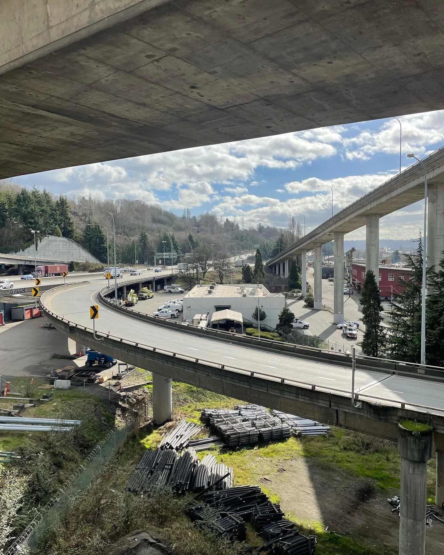
Seattle, washington
Overwhelming matrix of crisscrossing highways. The large arteries run through the international center, which is the heart of China town. And once again, through Capitol Hill, which had been a thriving black neighborhood.
Portland, oregon
Portland, Oregon. The Albina neighborhood was another thriving black community displaced by the interstate plans in the yellow book. Under the massive overpasses little remains and the majority of the greater area is gentrified.

San Francisco, California
San Francisco is at the heart of the highway revolts in the 1960s. This tree stands in the Panhandle park, off of Oak Street where a plaque honors these monumental efforts that inspired other revolts across the country.


